
Image Courtesy of Flickr.
While extinction is a natural phenomenon, human activity has accelerated the deterioration of ecosystems worldwide and driven an epidemic of species extinctions, leading growing numbers of scientists to search for ways to conserve the Earth’s existing natural resources for future generations. Geospatial analytical tools like range maps, which describe the geographic area a species is believed to inhabit, are essential resources for informed conservation planning. Researchers can use data from these maps to forecast future range dynamics to identify vulnerable “gaps” in protection, informing decision-making and conservation resource allocation.
Traditional gap analyses tend to focus solely on threats to species’ range. However, a team of researchers led by Nyeema Harris, an associate professor at the Yale School of the Environment, has developed an innovative methodology that simultaneously analyzes positive conditions and threats to generate more comprehensive range maps.
“We aggregated different layers. Some were threat layers that were detrimental to species’ range, and others were resource layers that were positive for promoting species conservation,” Harris said. “We overlapped these resources and threats to identify areas vulnerable to range contractions and that maybe aren’t receiving enough conservation and research efforts.”
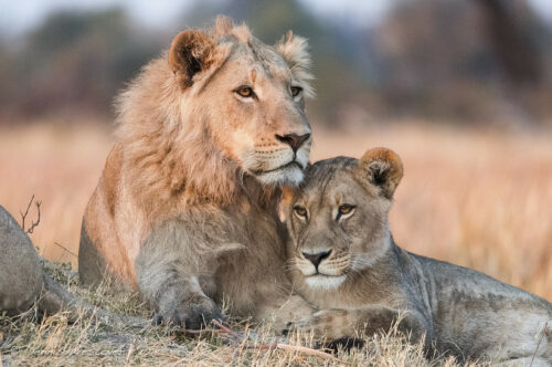
The researchers performed a gap analysis across the ranges of ninety-one African carnivores to determine whether existing and available conservation capacities are sufficient. The team assessed factors like hunting pressures, drought vulnerability, cultural diversity, and protected area coverage. They found that, on average, fifteen percent of a species’ range was at risk of contraction. “We hope this analysis can be used to inform future conservation and research,” Harris said.